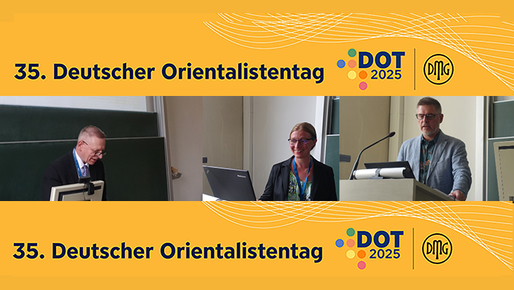
DOT Panel Erlangen 2025
State-Building and Social Space – Crossroads between History, Geography, and Cartography, RomanIslam Panel Sep. 8, 2025
This open panel combines political history, spatial analysis, and exploration in visually related methods, namely (but not exclusively) historical cartography. Contributors are invited to present papers on political, social, and economic history in Early Islamic contexts with an emphasis on spatial, geographical approaches.
The panel will begin with the results of the mapping project conducted at the ‘RomanIslam Center for Comparative Empire and Transcultural Studies’ (Early Islam) (University of Hamburg), devoted to the study of North Africa and al-Andalus in the ‘Long Late Antiquity’. Placing social spaces into physical spaces creates fruitful challenges. While, e.g., political borders, state organization, economic exchange, and nomadic pastoral migrations produced tangible realities on the ground, we encounter them in the sources also as social constructs that call for conceptually aware reading. The cartographic method force us to rethink those concepts and make the analysis of sources visusally comprehensible.
The Early Islamic Empire followed only partly the legacy of its imperial predecessors. Territoriality was an option, not a given. It was only realized in areas of dense agricultural and urban population such as was the case in Greater Mesopotamia (from Khuzistan to Northern Syria). In most regions of the empire, from the east to the west and even in islamicised regions outside the empire’s military reach, local powers (nomads, mountain dwellers, regional principalities) were integrated or curbed in a precarious balance of power, even at the height of the empire in the 8th and 9th centuries. Polities and the organizational forms they took (statehood, tribe) were driven by their economic opportunities, taxation, mineral resources, trade patterns, rainfed or irrigation agriculture, and animal husbandry. How to formulate these different social, political, and economic aspects of social spaces, and how to reflect them in word and maps?
Territoriality, Fiscality, and the Economic Reach of the Empire in North Africa
Stefan Heidemann (RomanIslam Center/ Universität Hamburg)
The Early Islamic Empire was a fiscal state, its mode of government was driven by the possibilities of income, not primarily by the wish of territory or rule over people. As all empires its reach was larger than the regions it militarily controlled. North Africa can be taken as model. The mapping project carried out by the RomanIslam Center required a reconsideration of territoriality, fiscality, and the Empire's economic reach.
The Settlement Backdrop of Early Islamic State-building in North Africa: Mapping Toponymical Change
Kurt Franz (RomanIslam Center/ Universität Hamburg)
This paper showcases how historical toponomastics and cartography can be used for confronting the source problem of historical studies in the 2nd/8th to early 3rd/9th centuries when Arabic was not yet literarily productive. Especially arduous is the situation in the North African theatre where an extreme dearth of Latin (or other) coeval literature (save epigraphy) even impedes the search for non-Arab views. By contrast, toponymy provides valuable proxy evidence in various respects. I hold that place names – changing, at times translated, and often shifting – form an immaterial cultural heritage suited to bridge the gap in textual documentation.
Focusing on North Africa prior to Aghlabid independence (820), I will first survey the body of regional toponymy, from the Great Sirte to the Atlantic. I will thereby make use of the fact that, for one thing, toponymy mirrors long historic periods as well incisive events. For another, its transmission in Arabic written sources (from the late 3rd/9th century on), although secondary, is virtually above reproach for being distorted by party spirit or other biases. Second, analytical approaches will be taken regarding name (dis)continuity and transformation; the interrelation of Latin, ‘Berber’/Tamazight, and Arabic linguistic strata; the occurrence of imperial and tribal references; and spatial clustering vs. scattering, if not, in some stretches, near-absence.
In conclusion, I aim at interpreting the results in view of settlement and political history. The body of documented place names, I will argue, is a reliable token of North Africa’s variegated small-regional conditions, ranging from dense and urban to sparse and rural/mobile, on which formed the diverse political models the time.
Settlement Beyond the Empire
Katharina Mewes (RomanIslam Center/ Universität Hamburg)
The geography and history of settlement in early Islamic North Africa is little known. In the course of the mapping project of the RomanIslam Center (Early Islam), a closer look on the region’s settlement history became necessary. Especially intriguing is the vast region to the west of the Zāb, areas that had been located outside the late Roman Empire proper and were not controlled either by the Umayyad and Abbasid empires. Most of it remained under the rule of autonomous groups, often of tribal background with local ‘Berber’ making up the largest part of the population.
After a process of deurbanization in the demise of the late Roman empire, new settlements arose with the Arab conquest. The early Islamic empire’s need for silver and slaves not only fostered long-distance trade towards the empire, but in turn brought economic wealth, Islamic culture, and a new religion into these adjacent regions. Hallmark of Islamic culture is the city.
Urban settlement intensified in western North Africa (Fes, Tangiers regions, and southern Morocco), while in what is today Algeria only few settlements raised to prominence (Tlemcen, the two Taherts). The early urbanizing processes laid the foundation for the political rise of the Maghrib in later centuries, reaching its peak with the Almohad empire.
While geographers like al-Bakrī and Ibn ʿIdhārī tend to focus on dynastic history, it is possible to collect bits and pieces on these outlying areas. Regarding westernmost North Africa, being outside the Islamic empire, mints and mines can serve as proxies for early urban economic activities and ensueing sedentary life. East of the Islamic Empire, in the Aṛd Tāhart and in the Idrisid realm, the political history is indicative. It unfolded between urban-centred dynasties and rural, largely mobile, Berber groups, together forming polities based on loyalty.
This paper studies the impact of Islamication and Islamization on settlement patterns outside the empire. The time frame under study is the first 250 years, starting when Islamic armies settled in al-Qayrawān and stretching until the end of the 3rd/9th century, when the political situation changed drastically with the advent of the Fatimids.
[ Report ]


